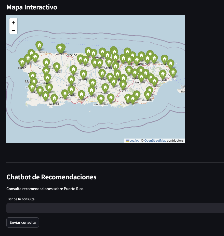
Puerto Rico Exploring
Developed an interactive web application using Streamlit, GeoPandas, Folium, and Streamlit-Folium to visualize and analyze geographic data of Puerto Rico through dynamic maps. Integrated OpenAI API, BeautifulSoup, Pandas, NumPy, and Requests to provide AI-driven insights, web-scraped data, and enhanced user interaction.